Rockland Harbor Southwest, ME 

Select a photograph to view a photo gallery
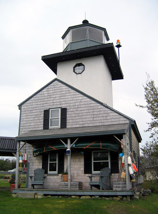


Photo Gallery

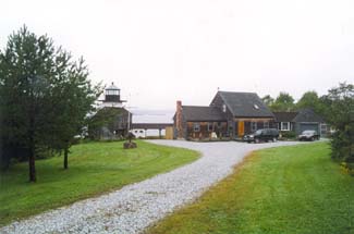
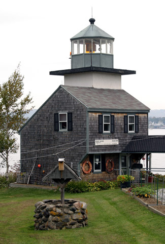
Photo Gallery
Photo Gallery
John Gazzola purchased the property from Dr. Woolett in 1998 and embarked on an extensive renovation of the lighthouse. The property sold in 2012 for $520,000 and then again in 2018 for $540,000.
References